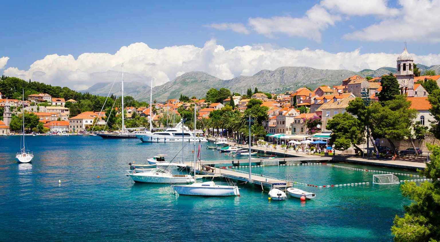
Cavtat Bay is usually described from above: the harbour curve, the stone edge, the blue water, the easy glamour of the shallows. Much less often is it described from within. This guide corrects that imbalance. It combines the documented 1998 scientific census for Cavtat Bay with later photographed local observations, then translates both into a field guide that a swimmer, snorkeller, or attentive visitor can actually use.
Best-documented local species in supplied sources: Mediterranean Sand Smelt and Sheephead Bream
Scientific baseline: 1998 visual census in Cavtat Bay
Main habitat to watch: rocky shallows with algae, crevices, tunnels, and nearby seagrass
Main lesson: the bay needs more named observations, not more vague adjectives
What Swims Beneath: The Fish of Cavtat Bay — A 2026 Field Guide to the Adriatic Shallows
A local field guide to the fish of Cavtat Bay built from what can actually be documented: the 1998 scientific census, photographed 2021 citizen observations, and the nearshore habitats where attentive swimmers can begin to see the bay with proper names rather than guesswork.
Most people snorkel Cavtat Bay the way they read a menu in a language they do not understand: with enthusiasm, polite guesswork, and the nagging suspicion that they are missing something important. They float above limestone ledges, watch silver flashes accelerate and vanish, then surface to ask the same question in ten accents: What was that?
For a place this close to Dubrovnik, Cavtat’s water remains oddly uncaptioned. We name beaches, restaurants, boats and viewpoints, but we rarely name the residents. And yet the fish community here has been studied, at least once, with real method and discipline: a non-destructive visual census in 1998. Add to that a smaller but still meaningful layer of citizen observation in 2021 — photographed, dated and specific to the nearshore shallows — and you get something rare in travel writing: an invitation to see with vocabulary.
This is not a complete taxonomic inventory of the bay in 2026. It cannot honestly claim to be one. What it can do is something more useful: separate documented fact from enthusiastic assumption, give snorkellers a cleaner way to read the shallows, and show how local observation and older science can still meet in one bay. In that sense, this is as much a guide to paying attention as it is a guide to fish.
Cavtat Bay has been studied for over a quarter-century, yet most visitors leave without learning a single species name.
The study that started it all (Cavtat Bay, 1998)
In May and June 1998, researchers carried out a visual census of fish assemblages associated with shallow rocky habitats along the southern Croatian coast, including Cavtat Bay. The work is associated with P. Guidetti and S. Bussotti, and it matters because it gives Cavtat something most bays do not have: a baseline built on numbers rather than impressions.
The study used non-destructive visual censuses on 125 m² transects at two stations in Cavtat Bay, labelled Station A and Station B. It recorded species richness of 20 species at Station A and 18 species at Station B, and estimated mean densities of 197.6 ± 30.6 individuals per 125 m² at Station A and 173.7 ± 5.8 at Station B. The dominant trophic group at both stations was planktivorous species.
For readers who want the primary record, FAO’s AGRIS database can be searched for the reference via the Guidetti & Bussotti record, while a stable institutional bibliographic entry is available via the University of Salento repository at this listing.
| 1998 Cavtat Bay Census (Summary) | Station A | Station B |
|---|---|---|
| Survey window | May–June 1998 | May–June 1998 |
| Method | Visual census (non-destructive), 125 m² transects | Visual census (non-destructive), 125 m² transects |
| Species richness | 20 species | 18 species |
| Mean density | 197.6 ± 30.6 ind./125 m² | 173.7 ± 5.8 ind./125 m² |
| Key families noted | Sparidae (genus Diplodus) more abundant | Labridae (wrasses) better represented |
| Size structure | All size classes present; juveniles more abundant | Dominated by larger individuals |
| Environment | Sheltered; higher sea urchin density; lower algal cover | Exposed; fewer sea urchins; macroalgal canopy well-developed |
The most useful part of this census is not the headline number of species. It is the ecological contrast. Station A was described as sheltered, with higher sea urchin density and lower algal cover. Station B was more exposed, with fewer sea urchins and a well-developed macroalgal canopy. Fish size structure differed too: Station A contained all size classes and more small fish of several species, while Station B was dominated by larger individuals.
That last point matters because it reminds us that the bay is not just a list of species. It is an arrangement of pressures: exposure, grazing, cover, size structure, and shelter. Even a snorkeller without scientific training can feel some of that once they know to look. One stretch of coast feels fuller, another more cropped back. One set of rocks appears greener, another more raw. The scientific language helps explain what the eye has already noticed.
Two fish, photographed, named, and actually ours
Here is where this guide becomes intentionally strict. In 2026, it is easy to publish a “field guide” that is really just a recycled Mediterranean species list with Cavtat pasted on top. This one refuses that shortcut. We are only naming fish that are explicitly documented in the sources you provided: two species photographed and described by a local observer in July 2021.
Mediterranean Sand Smelt — Atherina hepsetus (Gavun / Girica)
Photographed in Cavtat in July 2021 and described as gregarious in the nearshore shallows, over rocky bottom with algae at roughly 0.5–3 metres.
Sheephead Bream — Diplodus puntazzo (Pic / Špic)
Photographed in Cavtat in July 2021 and noted as being observed daily very close to shore. The genus Diplodus is also explicitly referenced in the 1998 census as more abundant at Station A, which creates a clean bridge between formal science and what a patient snorkeller can still notice near the rocks.
For the citizen-science layer around Cavtat, Project Noah’s Cavtat tag remains the most direct index at Cavtat observations on Project Noah. For stable species pages, FishBase covers Diplodus puntazzo, while iNaturalist provides a taxon page for Atherina hepsetus.


| Documented Species | Scientific Name | Local Name | Documentation | Habitat Notes (Cavtat Bay) | Date |
|---|---|---|---|---|---|
| Mediterranean Sand Smelt | Atherina hepsetus | Gavun / Girica | Photographed (citizen observation) | Rocky bottom with algae, 0.5–3 m, gregarious | July 2021 |
| Sheephead Bream | Diplodus puntazzo | Pic / Špic | Photographed (citizen observation) | Observed daily very close to shore | July 2021 |
The value of these two records lies not in quantity but in credibility. They are modest, local, dated and visible. That makes them useful. Travel writing too often treats underwater life as decorative background. These observations begin the more serious work of giving the bay named presences. Once you know even two species properly, the entire waterline becomes easier to read.
Where they live — a snorkeller’s transect
If you want to see fish in Cavtat Bay, you do not need depth. You need the right edge: where stone becomes shade, where algae become canopy, where a tunnel concentrates current and a crevice creates shelter. The 2021 observer described the nearshore habitat with the kind of precision scientists appreciate and snorkellers immediately recognise.
Habitat description (observer, July 2021): “Depth: 0.5m up to 3m, then descending sharply to 10m. Substrate: rocky bottom, creating many crevasses and tunnels. Rocks abundantly covered in algae. Deeper waters: large colonies of sea grass.”
That paragraph is almost a map. Start in the shallows, follow the rock line where crevices become tunnels, then watch the steep drop to around 10 metres where sea grass begins. The 1998 study does not provide a modern species list for this deeper layer in the sources supplied, so it is included here only because the observer explicitly described it as present.
For a swimmer, this means that the most interesting part of Cavtat Bay is often not the most dramatic one. Fish visibility in shallow coastal habitats is about attention to transitions. The eye adjusts to contrast. A ledge, a patch of algae, a seam between shade and open water, a gap under rock — these are the reading points. Once you stop expecting a documentary-style parade and begin reading habitat instead, the bay becomes more generous.

The sea urchin question
The 1998 census links differences in algal cover to differences in sea urchin density between stations. Station A, the sheltered station, had higher sea urchin density and lower algal cover. Station B, the more exposed station, had fewer sea urchins and a better-developed macroalgal canopy. The paper discusses the relationship among algae, urchin grazing and fish, including the possibility of fish affecting grazing pressure, but it does not identify Cavtat-specific sea urchin predator fish species in the supplied sources. So none are named here.
This restraint matters. A useful field guide is not one that says the most. It is one that says only what the evidence can hold. It is tempting to complete the story with imported Mediterranean generalities, but that would blur the one thing that makes this guide valuable: its local strictness. Better to leave a gap honestly than to fill it loosely.
What we still do not know
This cannot honestly be called a complete field guide in the literal sense, because the source base does not support that. What we have is a baseline census from 1998 with station-level contrasts, and two named, photographed species observations from 2021. Between those dates sits a long gap that the supplied Cavtat-specific data does not fully close.
- No comprehensive 2026 species list: we cannot responsibly publish a full live catalogue, only documented observations.
- No named wrasse species: Labridae are present, and were better represented at Station B in 1998, but the supplied sources do not specify which wrasses.
- No recent post-1998 scientific survey in the provided material: the baseline is valuable, but historical.
- No supplied Cavtat-specific underwater species inventory video: the embedded clips below are context, not formal biodiversity evidence.
This should not discourage interest. On the contrary, it should sharpen it. The gap between what the bay certainly holds and what the public can confidently name is precisely where local citizen science becomes useful. Cavtat does not need a perfect dataset before people begin looking properly. It needs continuity, timestamps, habitat notes, and cleaner identification habits.
- It names only species that are actually documented in the supplied Cavtat material.
- It connects a formal scientific baseline to real-world shallow-water observation.
- It helps swimmers read habitat, not just chase sightings.
A snorkeller’s code for Cavtat
- Fins up, sediment down: avoid kicking the bottom.
- Look, do not touch: crevices and tunnels are homes, not handles.
- No feeding: it changes behaviour and teaches the wrong lesson.
- Leave the rocks alone: algae are habitat, not “slime”.
- Respect the shallows: Station A held more juveniles in 1998 — treat it like a nursery.
These rules are basic, but they matter. The shallows are often where inexperienced swimmers do the most ecological damage precisely because the water feels casual and familiar. In reality, these edges hold some of the bay’s most visible and most vulnerable life. A careful snorkeller leaves almost nothing behind except observation.
How you can help — citizen science
If you take one clear photograph of a fish in Cavtat Bay and upload it with the date, approximate depth and a simple habitat note, you have created a useful data point. Citizen observations already exist for Cavtat on Project Noah. The goal is not perfection. It is continuity.
- Photograph first, guess later.
- Note the habitat. “Rocky bottom with algae” and “0.5–3 m” is exactly the right level of detail.
- Upload with date and location.
- Share it. Put it on a citizen-science platform, or send it to Cavtat Guide if you want local curation.
The bay does not need more adjectives. It needs more observations. Even a modest run of carefully dated local uploads would do something valuable: it would begin reconnecting the bay’s scientific baseline with its public visibility. That is how field guides stop being static and become living local records.
Coda: the water does not need hype. It needs names.
The 1998 census gave Cavtat a disciplined snapshot. The 2021 photographs gave Cavtat two named presences we can point to and say: yes, this is ours. The missing layer — the updated lists, the named wrasses, the newer transects — will arrive either when science returns to the bay in force, or when careful citizens refuse to let the water remain anonymous.
This is perhaps the most useful way to understand Cavtat Bay in 2026. Not as an untouched secret, and not as a fully decoded ecosystem, but as a place where attention can still add meaning. The water already contains the life. What is missing is not biodiversity. It is vocabulary, continuity and shared observation.
How this fits a real Cavtat day
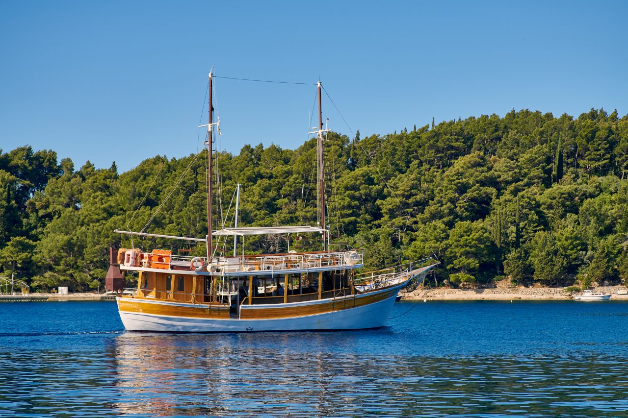
This sort of field guide is most useful when it changes how people use the coast. A morning swim stops being generic. A half-day boat excursion becomes more than scenery. A quiet hour on the Rat Peninsula or by a rocky access point becomes a small act of local study rather than passive floating. That is why this article pairs naturally with Cavtat Guide’s own water-based offers.
If you want the bay first and the wider coast second, the Private Speedboat Charter gives you the cleanest way to control time in the water. If you want a longer marine day with clear-water stops and broader island context, start with the 3 Islands Explorer Tour. If your interest is less species-focused and more about using the water as a moving threshold between places, the Regular Water Taxi to Dubrovnik is the gentlest beginning.
In each case, the principle is the same. Once you know even a little more about what lives in the bay, the coast ceases to be just backdrop. It becomes habitat.
YouTube embed — snorkelling in Cavtat:
YouTube embed — local fishing context:
Plan & sources
- Official events calendar (Konavle/Cavtat)
- Galleries & museums in Cavtat
- Dubrovnik Tourist Board
- AGRIS search record for the 1998 Cavtat Bay census
- University of Salento bibliographic entry
- Project Noah: Cavtat observations
- FishBase: Diplodus puntazzo
- iNaturalist: Atherina hepsetus
Related reading
- 3 Islands Explorer Tour
- Private Speedboat Charter
- Regular Water Taxi to Dubrovnik
- Shell Museum Cavtat: Inside the “Glossus Humanus” Collection
Need help choosing the right experience?
Tell us your budget, dates, and travel style, and Cavtat Guide will help you choose the best yacht charter, tour, property option, or local experience.